
Beyond the Map: Why Plot-Level Geolocation Matters for India’s Smallholder Farmers
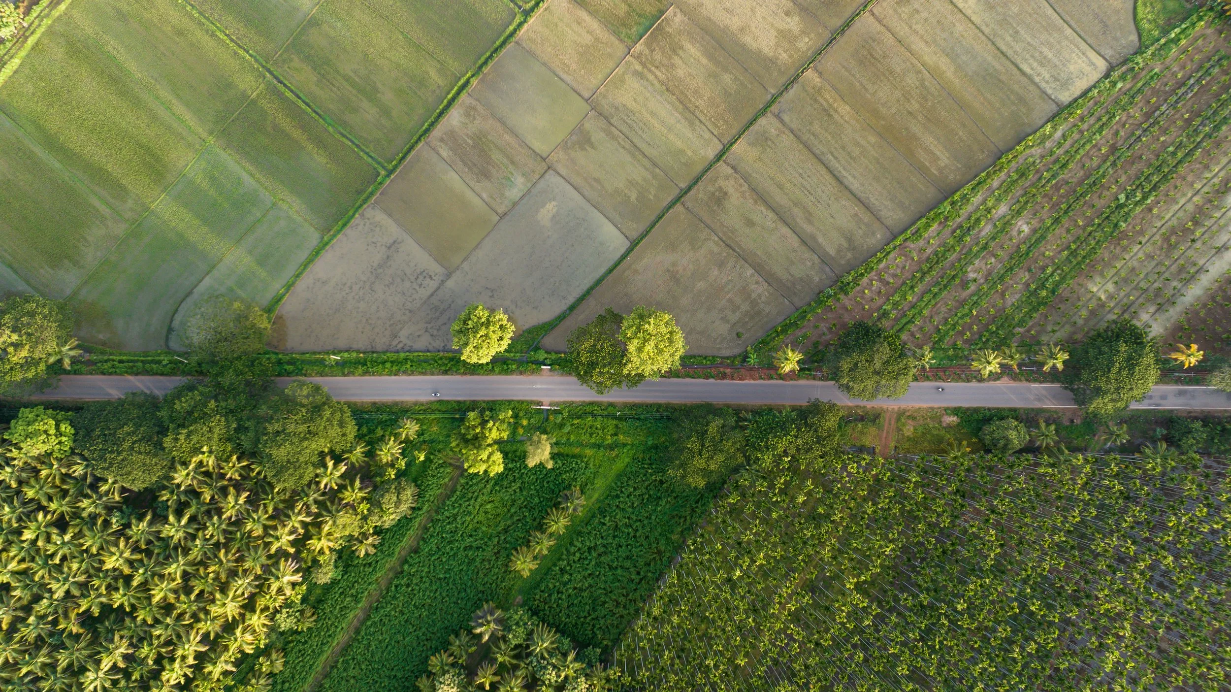
Summary:
India's agricultural technology conversation is dominated by AI, advisory platforms, and digital registries, yet most still operate on coarse, generalized spatial data. Plot-level geolocation is the missing structural layer. Without it, innovations cannot be tailored to actual field conditions, interventions cannot be precisely targeted, and impact cannot be reliably tracked. Building a geolocation-first approach to agricultural data governance is one of the most practical steps the ecosystem can take toward solutions that are genuinely accountable and worth trusting.
The Missing Layer
Geolocation rarely dominates conversations about digital agriculture in India. The spotlight goes to AI advisory platforms, climate intelligence, and the promise of precision agriculture at scale. Yet beneath all of these sits a more basic layer: the ability to link agricultural decisions, services, and evidence to a specific plot of land. For smallholder farmers, that is not a technical detail — it determines whether solutions engage with the reality of the field, or remain tied to statistical averages and generic assumptions.
Most smallholder farmers do not operate in abstract categories like "district" or "rainfed region." They operate on specific fields with specific soils, slopes, water conditions, and cropping histories. When technologies are built on coarse regional data, their recommendations often remain too generic to produce reliable value at the farm level, where it matters most.
A Structural Enabler, Not Just Another Feature
Research on digital agriculture adoption in India consistently points to familiar barriers: cost, connectivity, limited digital literacy, and weak last-mile support. Plot-level geolocation does not solve these. But it is structural. Even when a farmer has access to tools and support, the value of those tools still depends on whether they can locate and interpret the actual field with enough precision to matter.
That is why geolocation is better understood as an enabling layer, one that allows public systems to target better, private solutions to personalize better, and ecosystem actors to validate and monitor more rigorously. Without it, agricultural innovation becomes a stack of smart tools operating on blunt spatial assumptions.
What Changes for Governments and Markets
When plot-level data is responsibly governed, states can design subsidies, insurance structures, and support schemes with far greater precision, tied to actual soil profiles, water stress, topography, and local climate exposure rather than broad administrative averages. In a country where smallholder conditions may vary within the same village, that makes public spending more targeted and efficient.
For the private sector, geolocation makes agricultural solutions genuinely context-aware. Advisory services, credit models, and crop insurance products become more credible when anchored in actual plot conditions. A recommendation engine that knows the crop is useful; one that also knows the soil and its health, the slope, and the local weather exposure is far more likely to produce advice the farmer can actually trust and act on.
Enabling Impact Measurement and Monitoring
Perhaps the most underappreciated benefit of plot-level geolocation is what it enables for tracking whether interventions actually work. For donors, development organizations, and policy actors, the question is increasingly not just "did an intervention work in the pilot?" but "which solutions continue to deliver results across seasons, for which farmers, and under what conditions?"
Consider a programme distributing subsidized soil health inputs to 2,000 farmers across three districts. Without plot-level georeferencing, an end-of-season survey might show yield gains, but it cannot answer the more important questions: did those gains occur on plots that actually received the input? Did they hold across different soil types, or only in favourable conditions? Without spatial anchoring, "impact" rests on self-reported averages that funders and policymakers increasingly, and rightly, question. With georeferenced plot data, the same programme can track outcomes on the same fields across seasons, build a credible comparison group, and identify precisely where the intervention delivered and where it did not. That is the difference between claiming impact and demonstrating it.
As India's Agriculture Ministry signals tougher, evidence-based standards for biological inputs, this kind of spatially grounded, longitudinal evidence becomes essential. Not only for regulatory credibility, but for any organisation that needs to show its work is genuinely improving outcomes at scale.
The Governance Question
India's AgriStack initiative signals that this is no longer purely a technical debate. Its consent-based architecture treats plot-linked information as foundational infrastructure for credit, insurance, and benefit delivery. That design choice is significant, but it also raises the real question: who can access plot-level data, under what terms, and for whose benefit?
If designed poorly, data becomes extractive. It serves for platforms, lenders, and programme administrators, but not empowering for farmers. If designed well, the same data supports more precise public policy, better private products, more rigorous validation, and clearer accountability for impact.
A Practical Agenda
Plot-level geolocation does not replace the need to solve for cost, literacy, trust, or last-mile delivery. But without it, both public systems and private solutions risk staying broad where they need to be specific, and persuasive where they need to be provable.
The next phase of agricultural innovation for smallholder farmers will be defined by whether India's ecosystem can build a geolocation-first approach to governance: one in which plot-level data is accurate, consent-based, usable by trusted intermediaries, and capable of supporting solutions that are genuinely fitted to the realities of farmers on the ground.

Amos Shtibelman,
EIP Head of Reaerch
Amos leads research at EIP, drawing on 13+ years in market research and innovation consulting, including five years at EY advising on corporate innovation and sustainability, and nearly a decade of independent work in energy and climate tech, from battery storage to carbon pricing.